
LiDAR point-cloud processing
← All work
AI · Case study
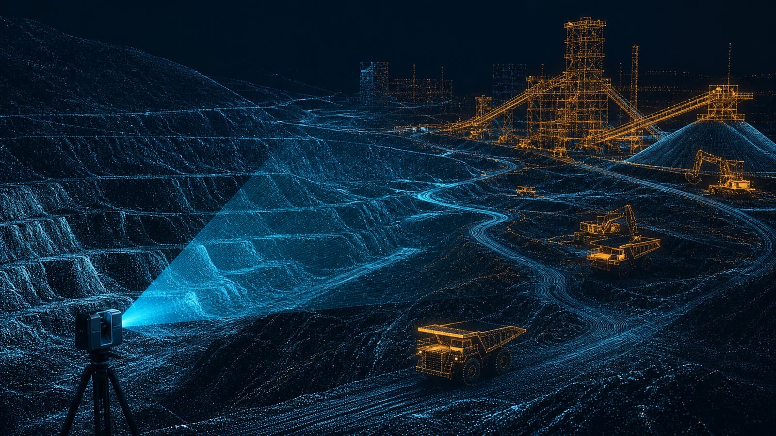
AI and OpenCV processing for LiDAR point-cloud datasets and spatial intelligence workflows.
FocusAI
Core stackPython
Workstreams3
StatusDelivered
Overview
What we built
LiDAR captures the physical world in dense point clouds that are rich in information but difficult to work with directly. This project built a computer-vision pipeline that turns raw point-cloud data into structured, analysable inputs, so large spatial datasets become something a team can actually reason about.
Using established computer-vision techniques, the workflow processes and interprets spatial features consistently across datasets. That replaces slow, one-off manual inspection with a repeatable path from raw capture to spatial insight.
Technology
What we delivered
OpenCV computer-vision workflows
AI-assisted spatial analysis
How we approached it
A disciplined path from problem to working system.
Understand
We start with the users, the data, and the systems already in place.
Shape
We define the outcome and the technical approach before building.
Build
We deliver in visible increments with engineering quality throughout.
Operate
We support, observe, and evolve the system after it ships.
Outcome
A structured computer-vision workflow for analysing complex LiDAR point-cloud data.
Related work
More AI projects.

Let’s build what matters